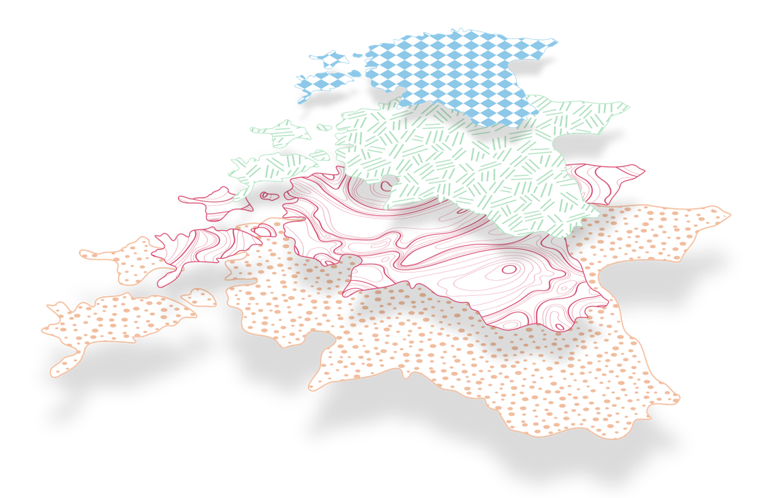
Estonian soil — the heart of Estonia
Soil is present in our everyday lives, often unnoticed, which is why its well-being is of great importance. Fertile, biodiverse soil, managed according to best practices, is what enables us to engage in sustainable agriculture and forestry, enjoy parks, home gardens, and flowerbeds. The better the condition of the soil, the more vital the plants, living organisms, and we ourselves are. Soil is the foundation of a nutrient-rich food supply and a natural filter and protector of clean drinking water. Soil is a living, constantly evolving system supported by all the biodiversity it contains, from microbes and fungi to earthworms and moles.
At the same time, fertile soil and land are a limited resource and, in the long term, a non-renewable resource, the impact of which will be felt by future generations.
All our activities are related to the soil—without it, neither we nor life would exist. Soil is like the heart that keeps life functioning. Therefore, we must protect our soil because Estonian soil is the heart of Estonia.
Project official name:
A governance system for the effective and sustainable use of land and soil, protection of biodiversity and climate change mitigation. Research program
Project duration
2024–2027
Project budget
5,7 million euros
Project funding
The project is supported by the Estonian state from the revenue generated through the trading of greenhouse gas emission allowance units.
As a result of the project, an innovative and resource-efficient land and soil use monitoring and management system will be created for the state, which will serve as the basis for integrated and high-quality land use spatial planning decisions and guidance in the future. A prerequisite for this is high-quality base data, meaning a scientifically created, consistent dataset, its digitization, and ensuring its functionality.
We are building an integrated and cross-sectoral land use monitoring and management system, which will serve as the basis for making sustainable land use decisions, maintaining a balance between the economy and environmental conservation.
We are creating interconnected digital spatial datasets and soil maps that provide innovative, science-based, and user-centered e-government solutions.
We are creating an innovative digital soil that represents, based on data, the impact of different soil usage practices on biodiversity, climate, and soil condition.
We ensure more sustainable soil use for the sustainability of the economy and the protection of ecosystems and public health. The project will reveal the connections between food and raw material production, energy, forestry, and strategic infrastructure objects, showing how they are closely linked to sectors related to climate regulation, biodiversity preservation, and the creation of a healthy living environment.
We will share information based on research with both the general public and businesses about soil conditions and processes, how soil use affects the well-being of our country and people, and how to use soil with minimal harm.
Project topics
-
Updating Estonian national large-scale digital soil map (MULD2 project)
-
In July 2024, the Estonian Environment Agency signed a contract with a consortium of researchers from the Centre of Estonian Rural Research and Knowledge, the University of Tartu, and the Estonian University of Life Sciences to update the Estonian national large-scale soil map. The project is titled "Creation of a Modern Concept for a Large-Scale Digital Soil Map and Updating the Existing Soil Map." The work is expected to be completed by November 1, 2026, with a project budget of approximately 1.4 million euros.
By November 1, 2024, the consortium submitted the interim report for Phase I, the summary of which can be found here (in Estonian).
In brief, during Phase I:
- A legally and administratively functioning working group consisting of experts from the consortium partners was established, along with a steering committee made up of representatives from consortium and the state authorities.
- Efforts have been made to gather, compile, and homogenize soil-related datasets.
- Preliminary samples have been worked out.
- Initial fieldwork has been carried out (including drone-assisted works).
- First samples have been analyzed in laboratories.
- Preliminary soil change risk matrices and respective map layers have been created, on the basis of which, further fieldwork is planned.
- An improved drainage layer and a layer of functional alluvial soils affected by floods have been created.
- Preparations have been made for urban soil classification, mapping areas with no data, and identifying and correcting errors in the existing soil map records.
- The transition rules between Estonian and WRB (World Reference Base for Soil Resources) soil classifications have been analyzed, and the treatment of peat soils (and organic soils) in various classifications and international programs/obligations has been compared.
- An initial conceptual analysis for creating a soil map in vector and raster formats (data cube) has been carried out, as well as an evaluation of the usability of the raster data cube for meeting data needs with different soil classifications and approaches.
In 2025, work on the aforementioned tasks will continue. Improving the vector map will also begin. By the end of September 2025, the consortium will submit the Phase II report, and a public seminar will be held at the end of the year. Regular steering committee meetings and broader stakeholder meetings will also take place.
The soil map is a basis for many land-use-related decisions, ranging from land valuation and assessing eligibility for subsidies to evaluating greenhouse gas flows, and making land-use planning decisions related to land take. For an overview of the soil map’s areas of use, click here (in Estonian).
The existing Estonian soil map (officially titled "Land Quality and Assessment Map", administered by the Land and Spatial Development Board) has not been systematically updated since the 1980s and requires both methodological and content-related updates.
See also:
- Priit Penu’s (Centre of Estonian Rural Research and Knowledge) presentation on the soil map update from the XV Soil Day held in December 2024. The presentation slides are available here (in Estonian).
- Madli Linder's (Estonian Environment Agency) presentation in the Copernicus Land Monitoring Service national cooperation program meeting organized by Estonian Environment Ageny in 13th March 2025.
- Martti Mandel's (Ministry of Regional Affairs and Agriculture) presentation in the 8th April 2025 meeting of the Working Group on the Mission "A Soil Deal For Europe".
- Greenhouse gases
-
The project contributes to the scientific improvement of greenhouse gas (GHG) reporting.
As of October 2024, a review report (in Estonian) on the opportunities to improve the monitoring and reporting of greenhouse gases in the agriculture and LULUCF sectors has been completed within the project. The goal of the work was to map the current situation and identify opportunities for improving GHG monitoring and reporting, including prioritizing certain more urgent developments and starting them promptly within the framework of the current soil and land use research and development project. The work also aimed to enhance cooperation and information exchange between various stakeholders.
Based on the completed review work, we have begun implementing these proposals, including seeking funding opportunities for developments from various sources and increasing synergy and cross-use between different projects and data layers. The work continues with implementing development priorities in collaboration with scientists.
Quick access: GHG development needs table (excerpt from the report, in Estonian).
- Land and soil use, including land take
-
As of October 2024, we have begun broad discussions to map the needs related to land and soil use, including land take.
As a first step, we will map, with the involvement of a wide range of stakeholders and interest groups, the international, national, and local objectives and obligations related to land and soil use, including land take, that are linked to environmental and climate goals. We will establish connections with economic objectives and needs and link them to ongoing and completed initiatives. We will compile the collected information into an overview that highlights both potential conflicts and synergies between environmental, climate, and economic goals in the context of land take and land use needs and objectives.
Based on this review, we will create an action plan for land and soil use, including land take, from both spatial and legal perspectives. In summary, we will gain an overview of the future needs of land and soil use, including land take, for the Estonian state, as well as the picture of the current situation that supporting environmental, climate, and economic policies and is sensible from the land use perspective. The outcome of this work will serve as the basis for subsequent activities, including possible and necessary large-scale analyses.
- Enhancement of soil and land use monitoring system
-
In the fall of 2024, we began discussions on what type of monitoring related to land and soil use should be studied and developed. The scope of the studies following these discussions will range from specific soil indicators (such as soil chemistry, biodiversity, etc.) to the development of monitoring indicators related to land use and land take.
Project partners and stakeholders
The project owner is the Ministry of Climate. The project is led by the Estonian Environment Agency and is supported by the Ministry of Regional Affairs and Agriculture.
The activities involve the Agricultural Registers and Information Board, the Land and Spatial Development Board, the State Forest Management Centre, the Agricultural and Food Board, the Environmental Board, the Environmental Investment Centre, the Ministry of Education and Research, the Estonian Research Council, the Estonian Geological Survey, the Estonian Environmental Research Centre, the Centre of Estonian Rural Research and Knowledge, universities, non-governmental organizations related to the project's research areas, and others.
Contacts
Madli Linder (Estonian Environment Agency, project leader | land take and ecosystem services adviser), @email, phone: +372 5334 5379
Aire Rihe (Ministry of Climate, soil protection sector leader), @email, phone: +372 626 2983
Eike Lepmets (Ministry of Regional Affairs and Agriculture, adviser), @email, phone: +372 625 6564
Janika Laht (Estonian Environment Agency, LULUCF coordinator), Janika.Laht@envir.ee