Overview
The task of the Estonian Environment Agency is to manage and develop a network of meteorological observations in Estonia, collect meteorological data and prepare weather forecasts for the territory of Estonia. The meteorological monitoring network consists of both in-situ and remote sensing measurements.
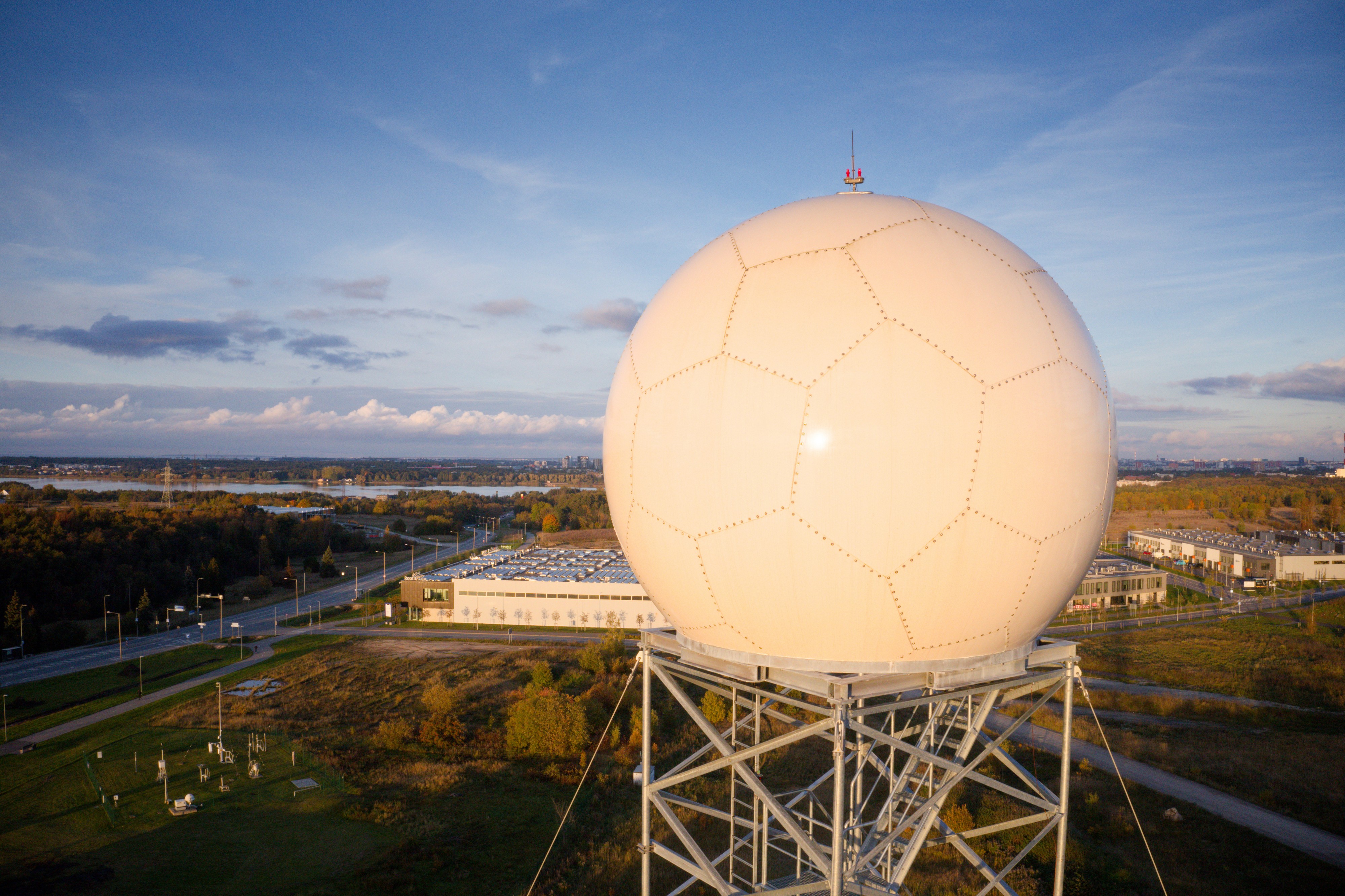
Currently, the radar network of the Estonian Environment Agency consists of two Vaisala dual-polarimetric Doppler C-band weather radars located in Harku (operational since 2009) and Sürgavere (operational since 2008).
Internal users:
- Weather forecasters at the Estonian Environment Agency who use radar data 24/7 in their work to produce weather forecasts and warnings.
External users:
- Users of the website (Environment Agency | WEATHER).
- Users of the ILM+ mobile app.
- Contractual customers of KAUR who receive radar data output via special solutions developed according to their needs.
- Besides operational meteorological work, radar data is used for scientific and research work.
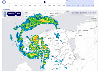
On the website of the Estonian Environment Agency (Radar | Environment Agency | WEATHER), precipitation data measured by weather radars in the last two hours in five-minute intervals are available.
The short-term precipitation forecast (nowcast) based on radar data, is also displayed, showing the probable movement of rainy areas and the spatiotemporal development of precipitation in Estonia up to 90 minutes (1.5 h) into the future from the moment of measurement.
More information
- References
Open data
According to the provisions of the European Commission's Implementing Regulation on the Publication and Reuse of High-Value Datasets, weather radar data are high-value open data. The Estonian Environment Agency publishes this data in Environmental Portal without restrictions on use and access, via application interface (APIs), with metadata, machine-readable and bulk downloadable in Environmental Portal open data file repository (KAIA).
The growing integration of weather radar data into forecast models makes it possible to increase their accuracy, and the increasingly long time series allows radar data to be used in precipitation climatology. Successful serving of all these areas sets high requirements on data quality.
International cooperation
The Estonian Environment Agency participates as an official partner in international radar networks BALTRAD, NORDRAD and EUMETNET OPERA.